Guayllabamba and Coca Rivers (Ecuador)
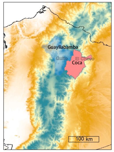
The Manduriacu and Coca Projects are the main hydropower projects in northern of Ecuador that depend on runoff sources from two different watersheds. The Guayllabamba River basin is located in the Northwest part of the EAM in Pichincha and Imbabura provinces. The Coca River watershed is located in the Northeast part of Napo Province. Both watersheds are located between the ranges of the following coordinates in longitude from 77°27’14.01″O to 78°54’15.44″O, and from latitude 0°12’58.04″N to 0°33’59.76″S. The elevation varies from 500m at the Manduriacu Dam to 5,987 m at the top of Cotopaxi Mountain. On the other hand, the Coca River, located in the Amazon Rainforest, belongs to a watershed that varies from 500 m – 5,790 m of altitude at the top of Cayambe Mountain. The farthest distance between the dams in Manduriacu and Coca Codo Sinclair Intake of the hydropower projects is 150 km.
People and Land Use
- Water supply projects in Quito, Cayambe and Otavalo.
- Agricultural activities that serve to the in cities.
- Two hydropower projects of Manduriacu and Coca Codo Sinclair.
Major Issues
Rainfall in the upstream drainage area of the Tropical Andes (TA) is an important source of water to support hydropower facilities. However, understanding the mechanisms that control rainfall-runoff variation is difficult for several global and local processes. Hence, diverse hydrological models help in understanding runoff variation based on rainfall data. In Ecuador, data is limited due to the difficult access of these remote zones as a result of a deficient number of monitoring gauge stations. Nevertheless, understanding hydrological processes in the TA is important in order to design and evaluate the vulnerability of hydraulic structures such as of dams, water intakes, channels and others. These structures serve to the development of important human activities in cities like Quito, Cayambe, and Otavalo.
Guayllabamba River:
Country: Ecuador
Provinces: Pichincha and Imbabura
Major Population Centers (people in 2010): Quito (1,619,000)
River Length: 191.2 km
Watershed Area: 6582 km2
Köppen Climate Classification: Marine West Coast Climate
Mean annual precipitation: 58.03 cm in station M1183; 147.2 cm in station M364
Mean annual discharge at mouth: 107.5 m3/s
Coca River:
Country: Ecuador
Provinces: Sucumbíos, Orellana, and Pichincha
Major Population Centers (people in 2010): El Chaco (10,000)
River Length: 189.57 km
Watershed Area: 4133 Km2
Köppen Climate Classification: warm and temperate
Mean annual precipitation: 124.5 cm in station M188; 222 cm in Baeza
Mean annual discharge at mouth: 292 m3/s